


RTK Solutions for Aerial Data Collection and Automated Flights
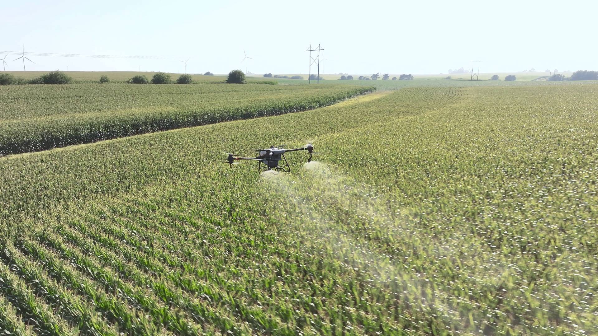
Accuracy is essential for drone missions. proRTK provides real-time GPS corrections with 1–2 cm precision via NTRIP, enabling highly accurate mapping, dependable automation, and consistent flight routes for UAV operators.
Our platform supports all major GNSS constellations—GPS, Galileo, BeiDou, and GLONASS—offering broader coverage and quicker signal acquisition, even in difficult environments. Compatible with most NTRIP-enabled GNSS hardware, there’s no need to set up your own base station. For operations in remote locations, we also offer portable base station solutions to maintain continuous service.
Whether you’re a solo drone pilot or managing a fleet, proRTK adapts to your workflow. With access to over 15,000 correction sources across 140+ countries, you can reduce the need for post-processing, minimize reliance on ground control points, and deliver precise results—more efficiently.